21 Apr

Fans of the Loch Ness Monster will be able to explore its “habitat” using Google Street View.
The US technology company has uploaded visuals taken on and beneath the loch’s surface to its Street View website.
When searching the loch, users of the site will find Google’s yellow Pegman icon changes to a Nessie “peg-monster”.

Google Doodle animators have had some fun with the image faked by the surgeon in 1934.

The Loch Ness Street View has been launched on the same date a faked photograph of the monster was published in a newspaper in 1934.
Highly respected British surgeon, Col Robert Wilson, claimed he took his photograph days earlier while driving along the northern shore of Loch Ness.
It was later revealed to be a toy submarine outfitted with a sea-serpent head.
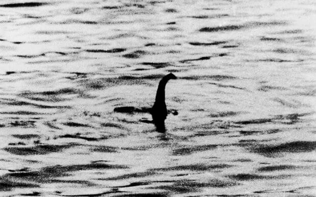
Col Robert Wilson’s photograph was published more than 80 years ago
Google has also sought to draw attention to the project with a Nessie-themed Google Doodle on its search page.
Loch Ness expert Adrian Shine spent a number of days with the Google Street View and Catlin Seaview Survey teams as they performed an operation to photograph above and below the waters.
Mr Shine said the project was “cloaked in secrecy”, adding: “When people asked about the ripples in the Loch during the special diving expeditions for once I had no opinion.
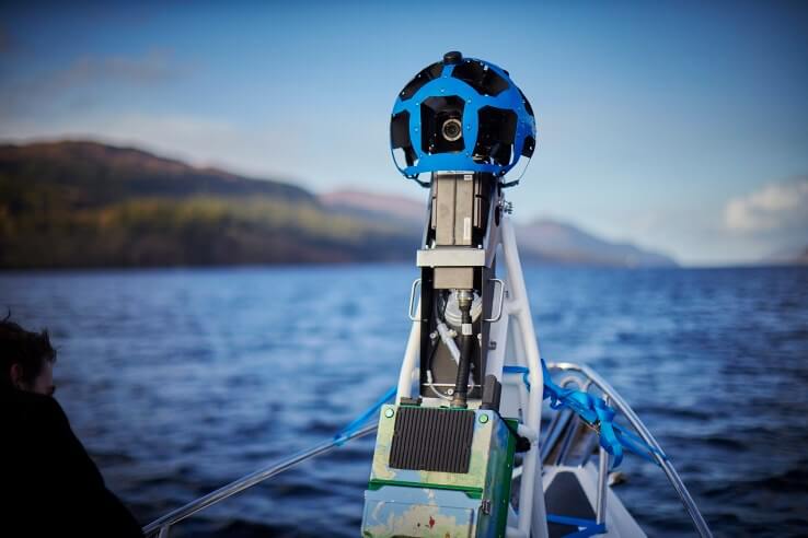

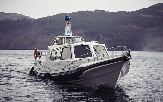
Left: The boat mounted street view camera used to record Loch Ness.
Right: Oliver of Contemporary Photography with the street legal version.
“I’m so proud to have been part of this initiative and I hope people worldwide enjoy exploring Street View to have a look and then be inspired to travel to Scotland to discover this area of magical beauty and natural intrigue. ”
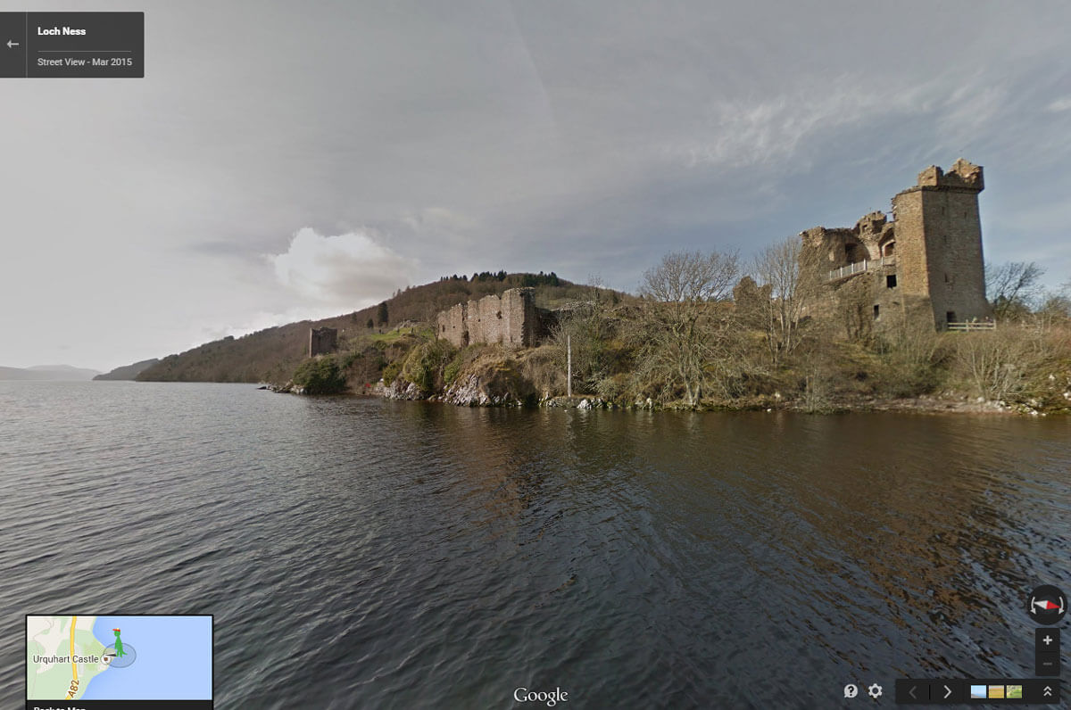
A view of Urquhart Castle from Loch Ness Street View
Google Record Street View of Loch Ness
Photographs Copyright Google


RECENT COMMENTS